Categories
outdoors

Duct tape hiking

We’ve had unseasonably warm weather this week, with temperatures expected to reach 70F today. Warm enough to drive around town on errands with the windows down (and the music up — an unfortunate hold over from my youth). I have an OsCommerce application to finish by year end for a client, so unfortunately haven’t been able to take advantage of the pleasant days to do any hiking. (More on OsCommerce in a later post. Someday.)

Speaking of hiking, I went to REI (a sporting and outdoor recreation store) yesterday to pick up a couple of things as a favor for my roommate. While there I checked out various brands of trekking poles. They are rather nice, especially the ones with the shocks, but I like my wood hiking stick. When I have it in hand, I feel more secure. I may actually have better balance and be more stable with the poles, but they don’t provide the psychological reassurance I get from my stick. Besides, my stick is paid for.

I did pick up a new day pack for hiking that was on sale. It has a long, narrow zippered area in the back, which I can use for my 400 telephoto lens, and a pocket in front of that for whichever of the zoom lenses I’m not using. Two side pockets made of a net-like material will hold containers of water or other liquids. In the main bag area is a compartment for my extra battery and camera memory card, and another for matches, compass, whistle, pain pills, and SPF15 lotion for plant and cold rash. The rest of the bag is more than big enough for my emergency blanket (the super small, lightweight, space kind), camera bag, orange slices and trail mix, topo maps, and duct tape.

I don’t carry a formal medical kit because if a scrape or cut is small enough for bandages, it’s small enough to wait until I get back to the car. If it’s too big to wait for the car, it’s too big for the typical bandages in medical kits. With duct tape, though, if you need to splint, just grab some branches and the tape; if you need to bandage a big gaping wound, use a bit of your clothing against the wound and then wrap it to your body with the tape.

There’s lots of things you can do with duct tape in the great outdoors.

I hesitated to spend the money on the pack, but after getting lost in the woods last week, I realized that I’m hiking in increasingly remote spots and on trails that are rugged and not necessarily well marked; doing so without the gear necessary to survive a night if I were to get lost. Last week it was a simple matter to recover because I was hiking around a lake and could just head in the direction of the sun over the water. However, I didn’t have the lake as point of reference, I could have been in serious trouble as the temperature ended up below zero degrees F that night. If I ended up wondering too far off the trail, I could have been very difficult to find. With the pack, I’m prepared.

No cellphones or computers though — the former because there is no signal where I hike; the latter because, well, get real. I’ve thought about getting one of those small voice recorders, and start podcasting/audio blogging my hikes. Then if I were to disappear, y’all would have a recording of my final trek.

Categories
Just Shelley outdoors Photography Places

Listening to your inner monkey

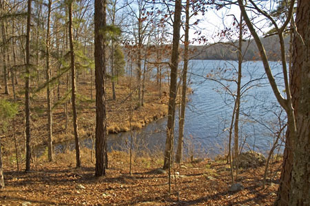
The photos in the last post were from a hike I took to Crane Lake on Sunday. I read in this new hiking book I bought, that it was an ‘easy/moderate’ hike, with a north loop of 3 miles around the lake; a southern loop 2 miles in length, with an end at the dam and around yet another shut-ins.

I had hoped to make both loops, it being easy and all, but ended up getting lost on the way. I ended up on a dirt and rock road leading into the interior of the Ozarks, past national forest land and small, old homes tucked into hills and hollows. The homes had signs posted on them–the usual with ‘Keep Out’, and ‘Private Property’. All except one that had a skull painted on a black board with ‘Keep out…or else’.

Finally I found the parking lot for the lake. It was cold Sunday, but a beautiful sunny day, so I was surprised not to see anyone else there. Still, I like having hikes to myself, so made no never mind to me. (That’s a genuine Ozarks expression — I’m adapting.) It was too late, though, for both loops and I’d have to settle for just the north one around the lake.

The hike started out easy, until reached the first hill to climb down. I found the ground covered with inches of dead leaves, and I couldn’t see the footing. I ended up sliding on the gravel and tripping over rocks. The little monkey in the back of my brain was wide awake, and though it wasn’t banging at my head, it was trying to make me aware that all journeys have an option: to go on, or turn back. I thought about turning around, but remembered that the hike was ‘easy’, and I wanted to see the shut-ins.

The rest of the trail worsened, obstacles buried under too many leaves to see, twisting my ankle, and constantly having to catch at the hiking stick to keep from falling. Again I thought about turning around, but figured it might be easier returning on the other side of the lake. Besides, I wanted to see the old dam, take some photos of it.

The trail turned into the forest away from the lake, and connected up with the Maple Creek section of the Ozarks Trail. It flattened, which was good. Unfortunately, while keeping my eyes down to avoid rocks, I also managed to miss the trail markers. Another aspect of hiking in the winter, just after the leaves fall, is that they can obliterate an already hard to see trail.

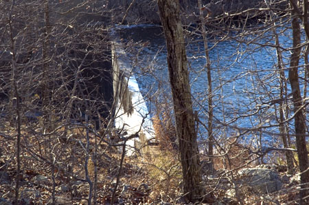
No worries, though — when you hike around water, you can always find the path again. It’s just that sometimes when you go off the path, the way isn’t always easy going. Still, I headed in towards the water, found the dam, struggled through the trees and branches and grabbed a picture of it from the side, turned around, and noticed a half torn off white diamond on a tree. I’d found the trail again.

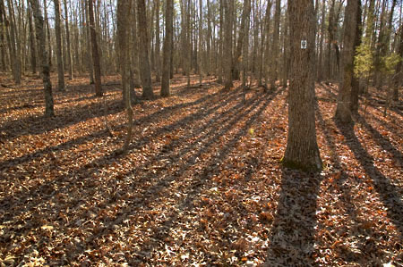
Above the dam was the beginning boulders signaling the shut-ins, but I couldn’t see any indication of where the trail led. The sun was going down, a lot faster than I thought it should, and the path was further obscured by the long shadows of the white oaks I was walking through. Long shadows are not a day hiker’s friend.

I didn’t need the monkey to tell me to turn back–my common sense had finally decided to make an appearance. However, while exploring around, I had again lost the trail. In fact, heading back to the car, I lost the trail a third time, and managed to get back to the car just as the sun started to set behind the hills.

I was a wreck, too — absolutely exhausted, badly overheated from the cold weather gear I was wearing, dehydrated because I hadn’t taken enough water, and barely able to walk after twisting about on the rocks. And I all I could think of was how hungry I was, and how I wanted some onion rings. Water, too. But I wanted onion rings. Yes, indeedy — deep fried, corn dipped onion rings, fresh out of the oil. I ended up stopping along the way, and bought some from a fast food place and wolfed them down. I then came home and promptly became sick.

After 24 hours of oranges and bananas and rest, I checked the hiking book again, actually reading the front matter this time, and found that though a hike in the book might be rated ‘easy’ this was the Sierra rating system, which is based on elevation and length of hike — not ground surface. You have to read the hike details to get a better idea of trail conditions. According to the details on Crane Lake, though the elevation change is slight, the trail itself is ‘rugged’ and often times, easy to lose because of the poor markings.

The author also mentioned in the front matter about avoiding hiking in conservation land during November and December, because of deer hunting season. I had totally forgotten that Missouri Conservation lands allow hunting, and sure enough, Sunday was right in the middle of hunting season. However, not Iron County, which was where I was hiking. No hunting was allowed at Crane Lake.

Well, no hunting, except for the feral hogs known to be in the area. Feral hogs. I’ll be damned.

Categories
outdoors

What are shut-ins?

A couple of people have asked, in comments and in emails, what are ’shut-ins’, such as the ones featured in Pink Saphires and Blue Diamonds.

According to the Missouri Conservationist:

Shut-ins are geologic features that are formed as streams erode away relatively soft limestone and dolomite, until they encounter deeper igneous rock, which is much harder to erode.

Streams and rivers running through igneous rock can cut only deep, narrow channels and are given little opportunity to form meanders as most streams do. As a given volume of water passes though these shut-ins, the water’s velocity increases, creating the rushing, bubbling effect that makes the scene at Amidon so appealing.

The only reference to shut-ins I could find are to those in Missouri, leading me to believe these may be a purely Missouri phenomena.

I have been to, and photographed both the Johnson Shut-Ins and the recently described Castor. Both are wonderful places, but the Castor is the one that’s stolen my heart.

Categories
outdoors

Hiking packets

I have a set of hikes I want to go on this winter, but it’s going to be difficult going on all of them if the weather continues so erratically. Weather Underground is normally fairly accurate, but lately, when the forecasters promise sun, we get rain; and when we expect clouds, we get sunshine. Like today.

If the weather breaks, I then have to scramble through my books to see which hike I want– am I up for a tough one or an easy one–and directions to the location and and since most of the hikes are at least an hour away, and the sun sets at 4pm, I lose the opportunity.

Being a geek, and therefore fussy and tweaky, with a love of organizing information into bit buckets, I devised a system of hiking packets: manila envelopes, each containing referential material (description of hike, location and driving directions, and any trail guides) about a specific hike. These envelopes are then marked with their region, difficulty and length of hike.

Now, when the weather is right, depending on the amount of time before sunset and my energy level, I grab one of the envelopes, pull out the direction sheet for how to get to the location, grab my cameras and head for the car.

No more dithering. Better yet, I won’t know which hike I’ve grabbed until I open the envelope, so each trip will begin with its own small adventure.

Categories
outdoors Photography Places

Pickle Creek hike

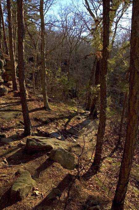
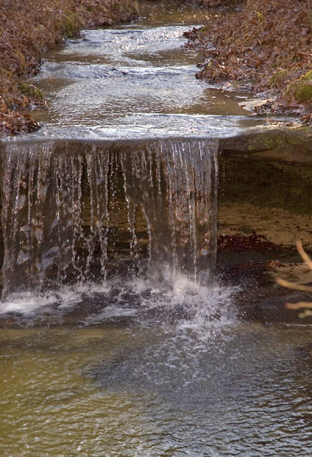
Two photos from the hike at Pickle Creek today. I have others and a hiking story, but I don’t have the writing itch tonight. Maybe tomorrow.

It was a tough hike, but beautiful. Limestone carvings and cliffs and ferns and lots and lots of boulders to climb over. Supposedly there are orchids around this area in the summer.