By accident and restless choice, I am the ultimate stone that gathers no moss and have lived all over this country. In each location, I’ve hiked whatever wilderness the area boasts, and one doesn’t truly know how beautiful this country is until you’ve walked the fields and forests, beaches and rivers.
In the Northwest, the wet rainforests of the Peninsula be-grudge every inch of the path and at times you feel as if the forest will swallow you whole, so rich and close it is. If one is fanciful, and the rainforests generate fancy, one would think to look closely at the bushes, to see if a set of eyes looks back. Cold water droplets down the back of one’s collar area is a typical Northwest rainforest experience. Elsewhere in the region, the forests are less dense but no less wild: whether walking the foothills of The Cascades, or the high hills of the Inland Empire.
As a break from the forests, one can walk the desert-like petrified forests, the rich meadows, or the beaches of the Oregon coast, getting lost among the rocks and the tidal pools, to climb sandy dunes and rocky cliffs. I have walked a thousand miles of Washington and Oregon through the years, and every mile is unique.

In Arizona, the forests are in the north and consist mainly of Ponderosa and scrub pine. In the red rock country, the trees fight for a life among the rugged rocks, their green a brilliant counter-point to the rust reds of the ground, and the azure blue of the skies. In the Arizona deserts, one can turn about once, twice, and get lost if not careful, and during the summer, the wilderness is unforgiving of fools. But, oh the beauty of an Arizona desert in the Spring, with flowering cacti and cool breezes, snakes warming themselves in the sun, lizards scampering about. And the area is so rich with minerals that one can find entire valleys literally sprinkled with jasper or black or white onyx.
One might expect fierce wilderness in Vermont, but you’d be surprised. The entire state was clear cut at one time, and the trees are of a uniform sameness and type and size. But in the winter, when the snow is on the ground and the lakes are frozen, that’s when Vermont shines for me. The irony though is that there are few places to hike easily in Vermont. In the winter, on Grand Isle, the local high school opened its doors in the evenings for community members to walk the corridors, get a bit of exercise and socialize. When snow is 4 feet deep, you don’t just cut across the country for a bit of a hike. Unless you’re a red fox.
Once, when I stayed at a bed and breakfast in the central part of the state, I found a trail made by a snow trailer and was able to walk to the top of the hill the B & B was next to. The day was sunny and cold, and fresh snow was pure white, all about me. As I walked further and further up the hill, all sounds fell away until the only thing you can hear is your own heart.

In Massachusetts, there are miles of coasts to walk if you can find them. The water is warmer than the Pacific but more temperamental, and there are few experiences finer than to stand on a beach during a summer storm in New England. Wet. Truly wet.
I prefer hiking, but it’s hard to resist the lure of the Emerald Necklace in Boston for walking — the series of connected parks that traverse the city. In Boston, you’re always aware that the streets you walk were once walked by the likes of John Hancock, Samual Adams, and Paul Revere. It was in one part of the Necklace that I walked along a stream and a red-tailed hawk landed on a branch only a few feet away. Right in the middle of the city.
In Montana, the green forest gives way to mile after mind-numbing mile of cattle ranches before hitting rocky mountains that tear through the earth in jagged layers, dangerous to walk, beautiful to see. And In Idaho, the lakes rest like blue sapphires nestled in verdant green velvet.
In Northern California, you can walk among Redwood trees so tall that no other life grows on the forest floor, because no sunlight ever makes it past the trees. In the distance, you can hear birds singing, but not a sound at the forest floor. As you walk, you can reach out and pat a tree that was born about the time when Abraham gave birth to Judaism, Christianity, and Islam.

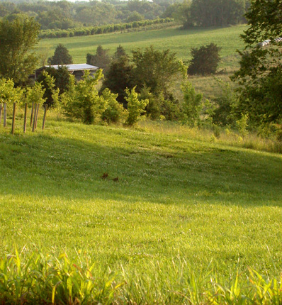
Here in Missouri, where mighty rivers have carved a culture unique to this region, of blues and banjos, where north and south meet and co-exist, this is a land of many faces: river fronts give way to wild mountain, which gives way to city, which gives away to parks absolutely unique in this country. One can walk every day in the year and still not touch all the trails and paths this state supports.
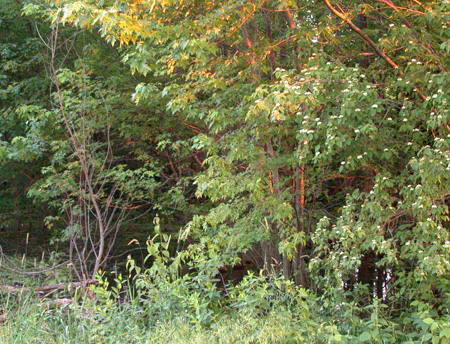
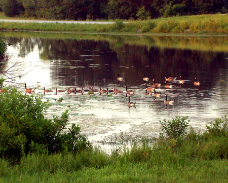
The mountains here are smaller than in the Northwest, but no less wild and no less fierce with brambles and tangles and rocks and soft clay ready to trip you up at every step. Here is where one is likely to meet white-tailed deer and beaver and black bear in addition to squirrel and opposom and raccoon. The bird life is as rich as the landscape, with bluebirds and red cardinals and mockingbirds and finch, hawk, eagle, and red-winged blackbird, all within a few miles of the city.
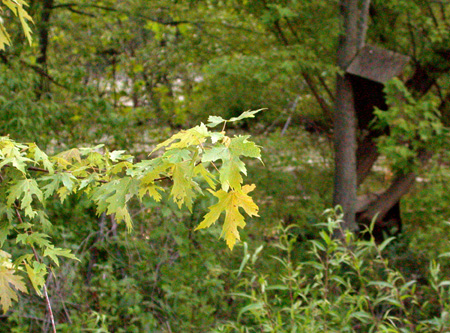
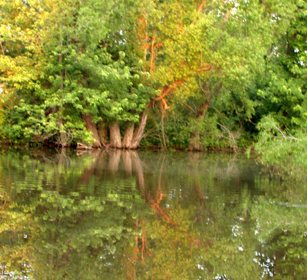
However, the real magic in this simple land is to walk the same path in all seasons; to see the land in winter, only hinted at behind lush trees and bushes in the summer; to watch a whole valley suddenly become dusted with green after a spring rain; to stand at the edge of the forest and see color that would shame the finest painters as the leaves of dozens of different trees of different heights and shapes change into their autumn colors, of gold and rust, pink and scarlet, with a hint here and there of defiant, stubborn green; to stand beneath a canopy of trees as golden leaves cascade down around you.


